June 3, 2021 - Day Thirteen, Flight Two
Grand Tetons, Devils Tower, Belle Fourche, SD
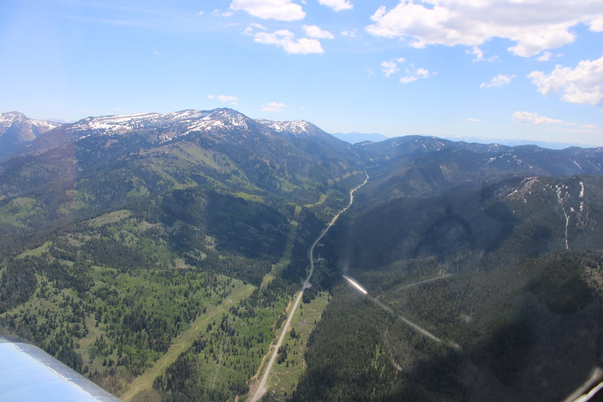
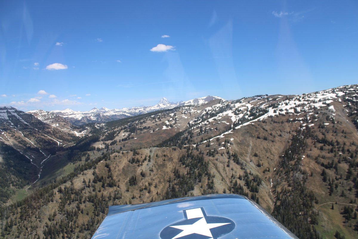
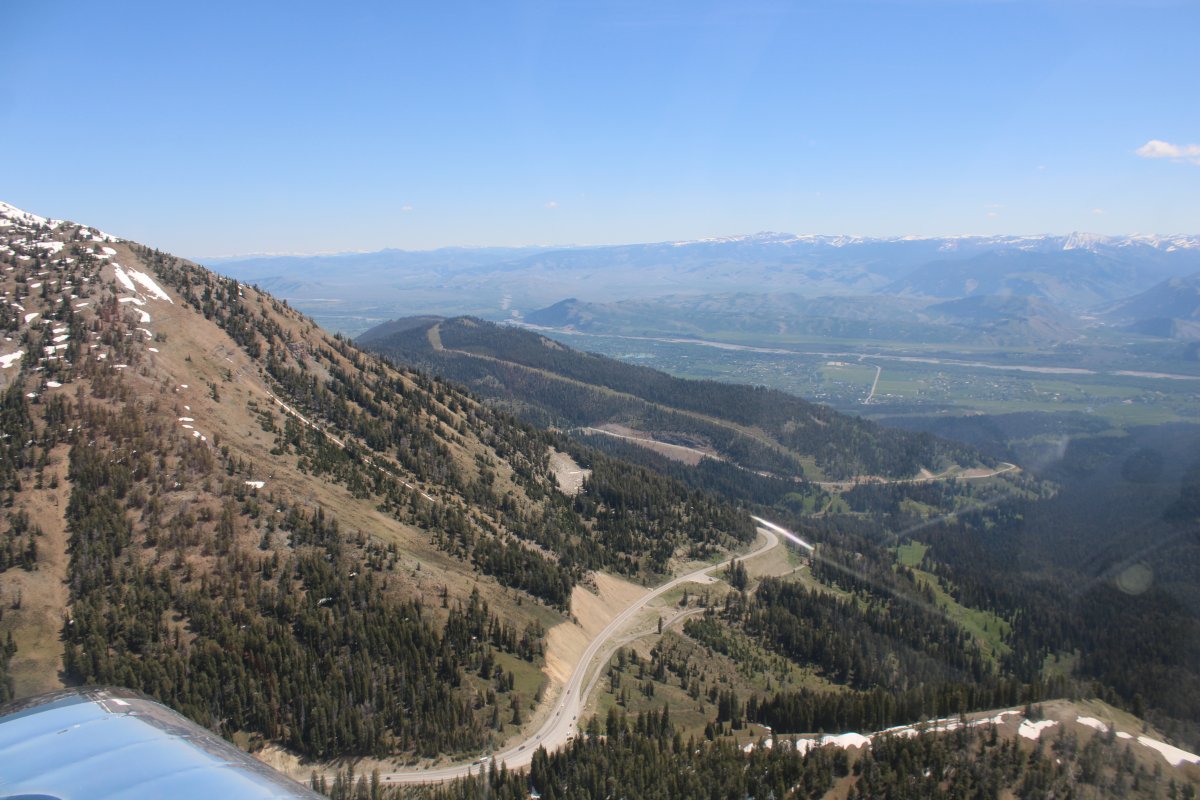
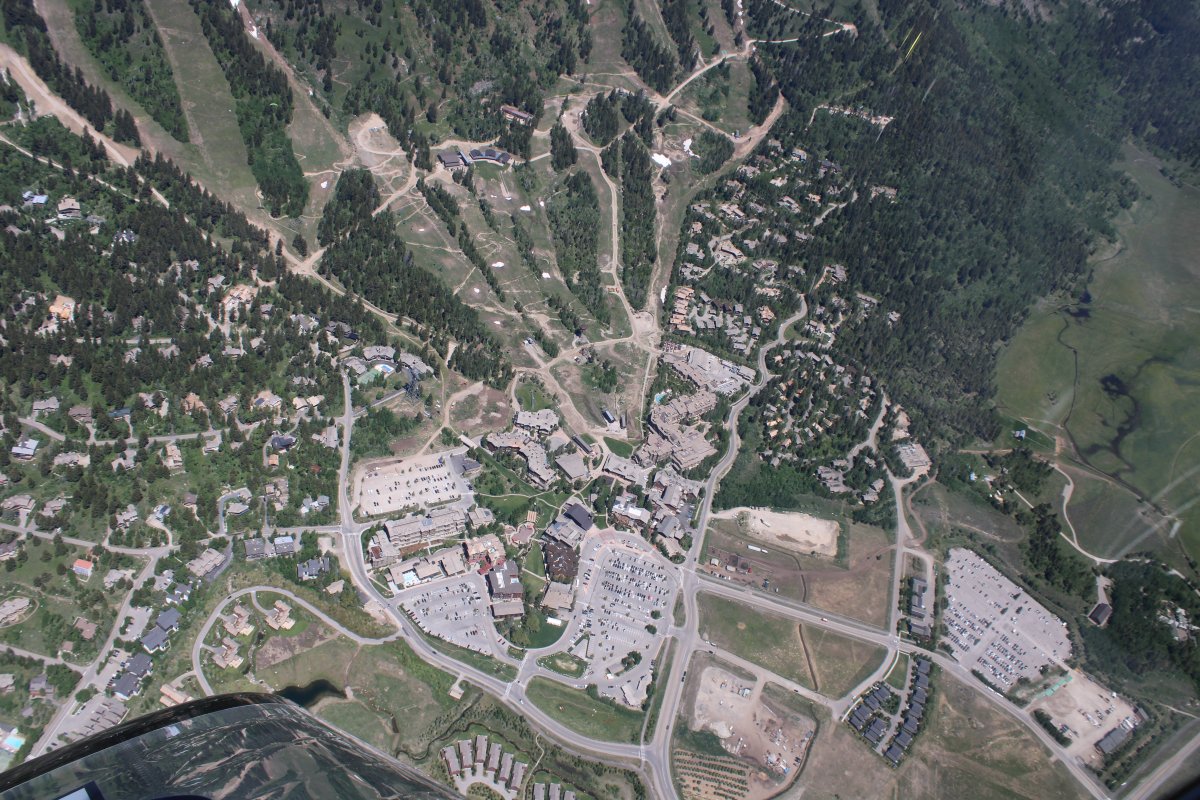
I'm now heading east, following the Teton Pass Highway about to go through Teton Pass.
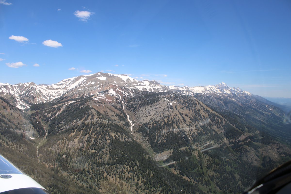
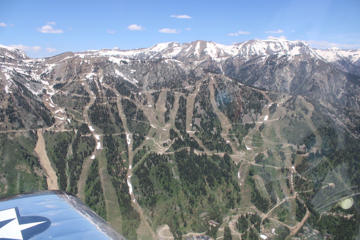
Looking south.
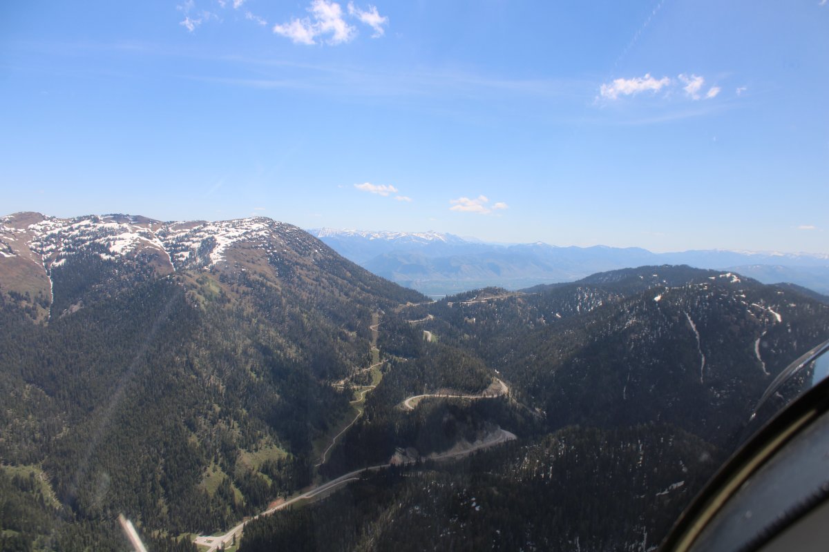
Turning northeast.
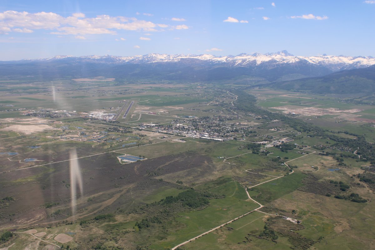
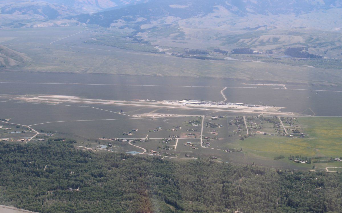
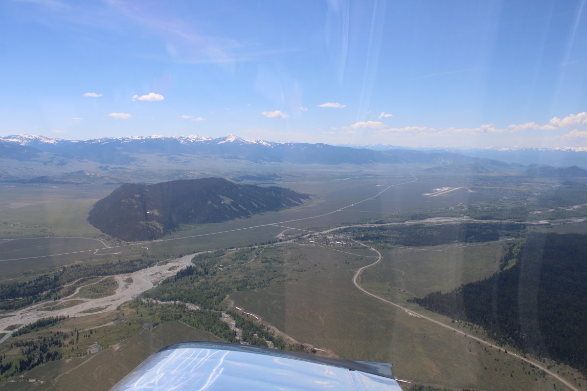
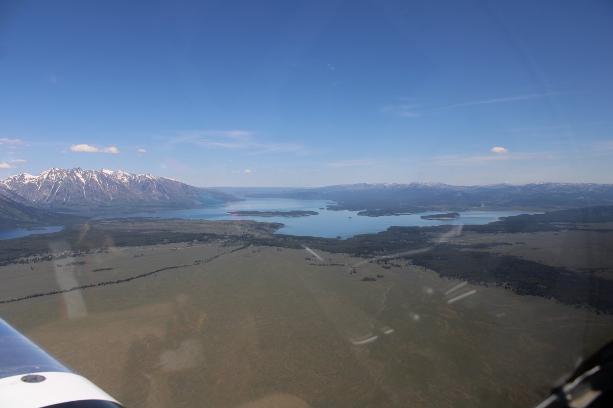
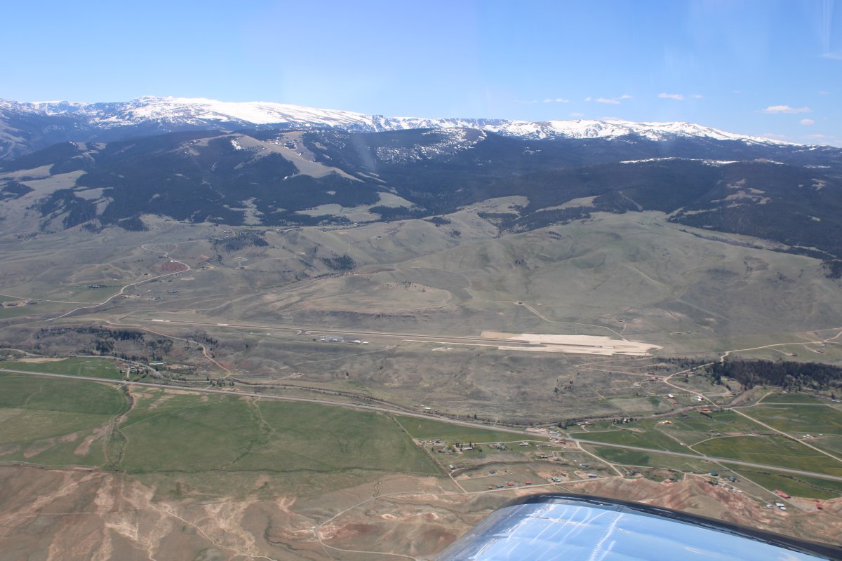
Looking west at Jackson Hole Airport (KJAC). The town of Jackson Hole is south of the airport but I didn't take a picture of it for some reason.
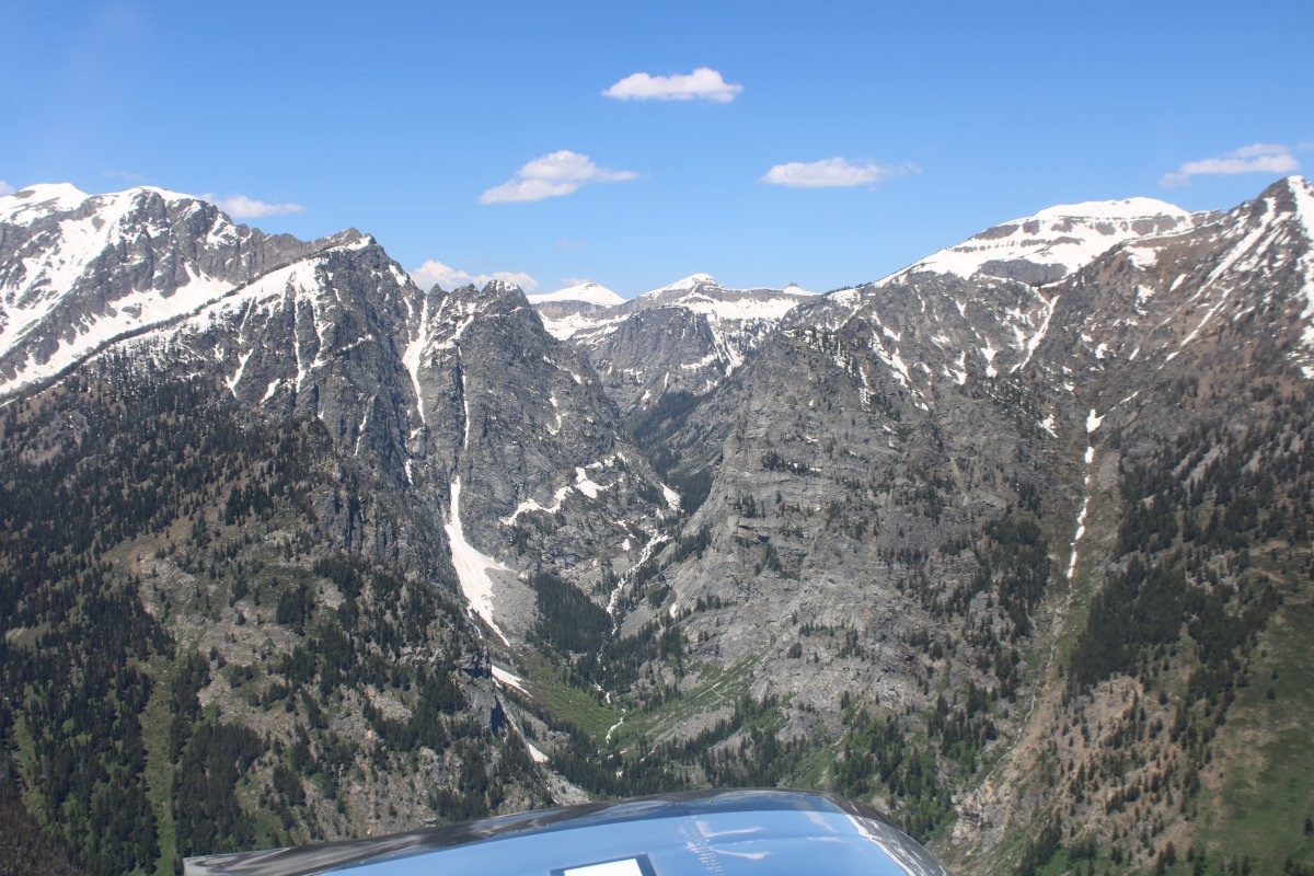
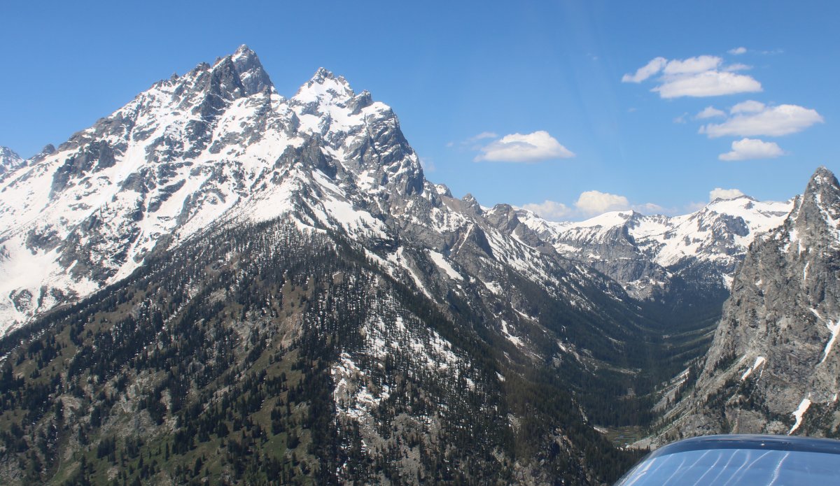
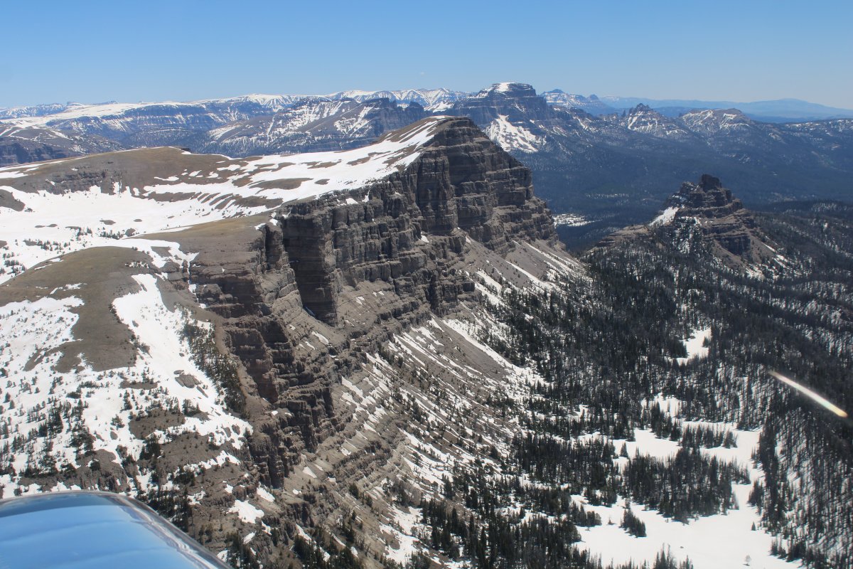
Some big rocks to the west.
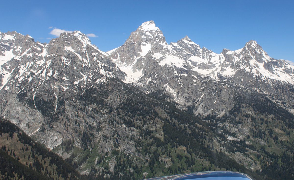
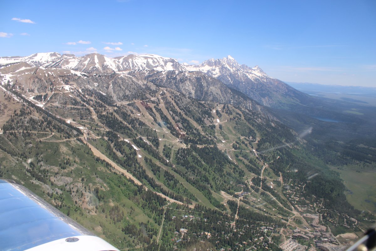
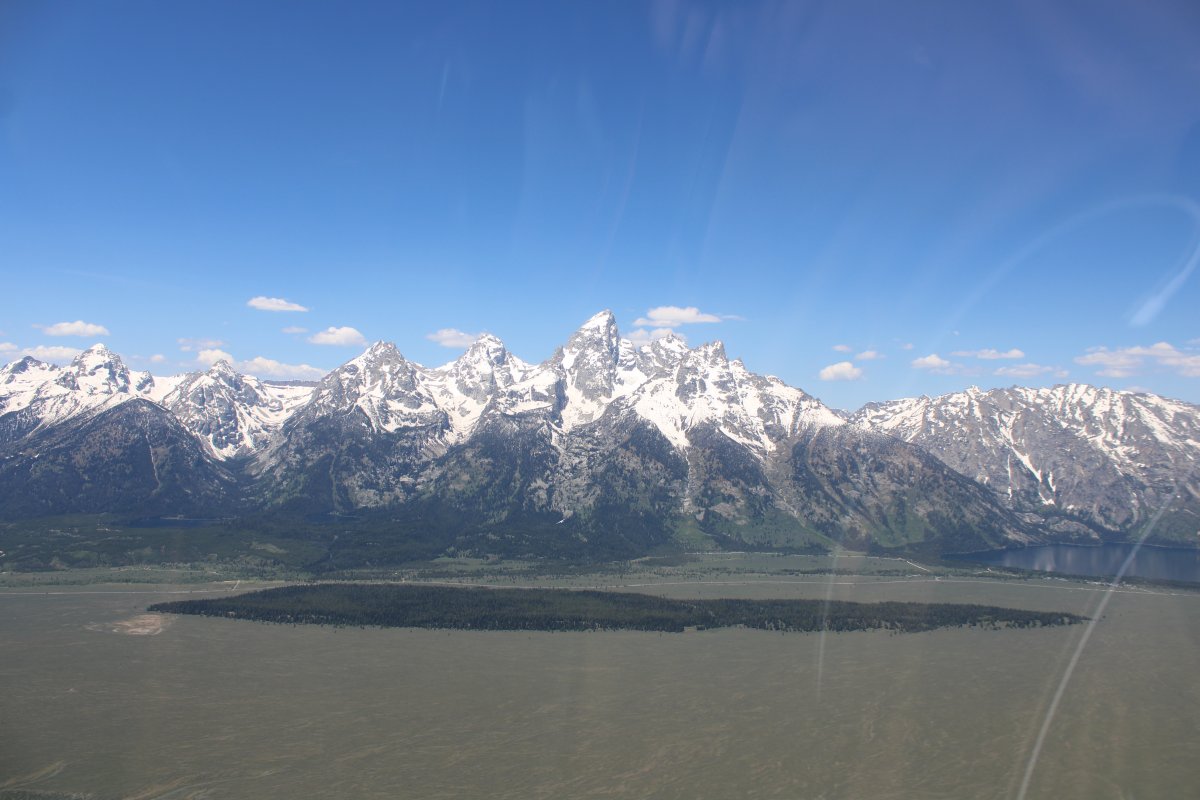
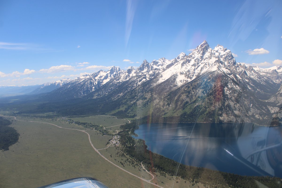
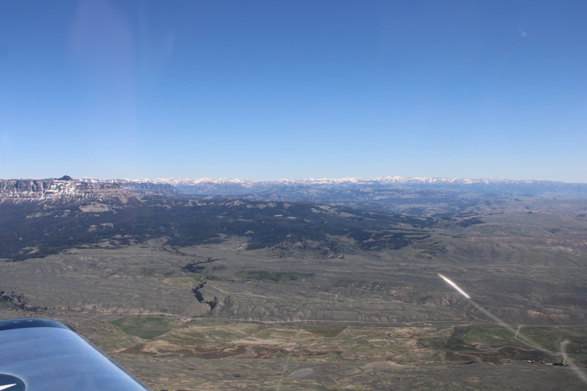
A classic shot of the Grand Teton range with the flat valley in front of it.
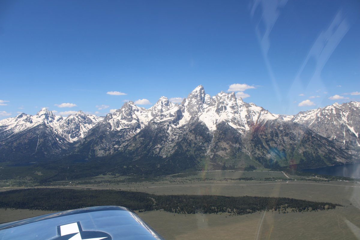
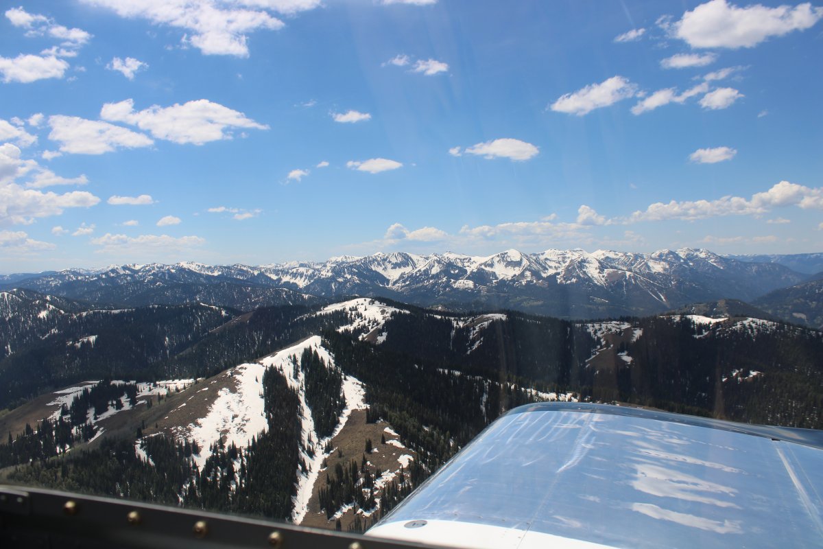
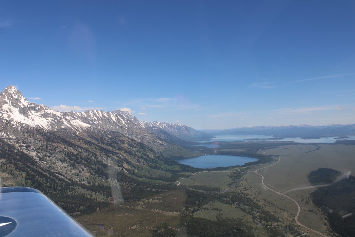
Looking southwest.
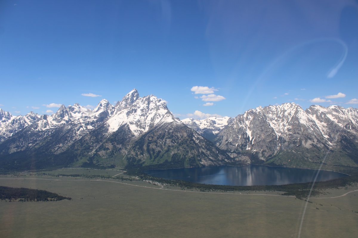
All too soon, it was time to leave the Grand Tetons; I turned east.
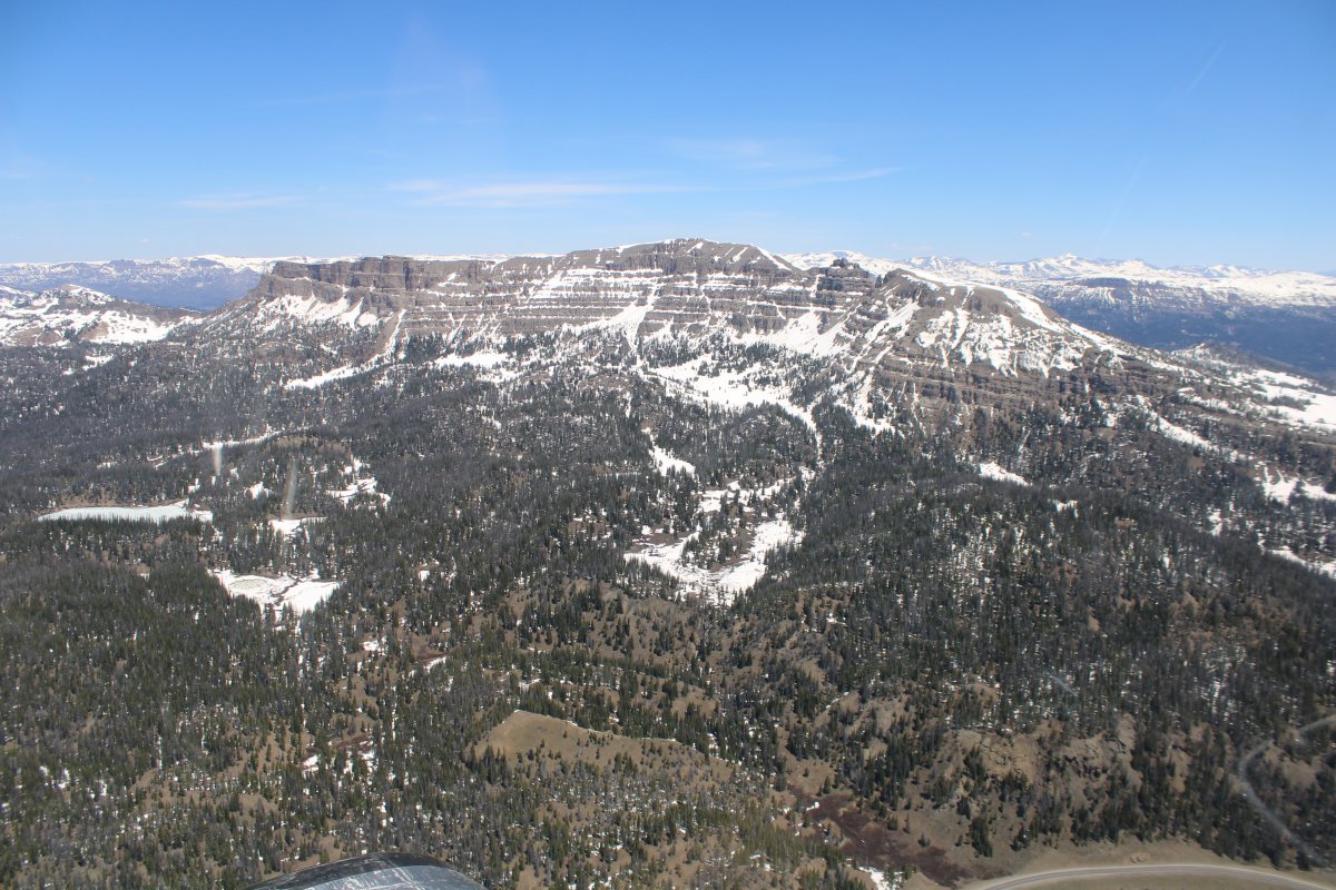
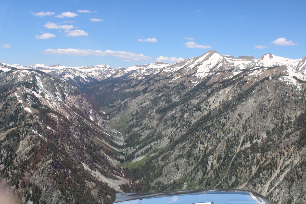
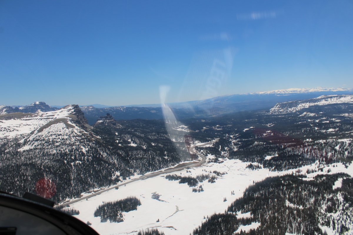
About to pass through Togwotee Pass, 9,658 feet elevation.
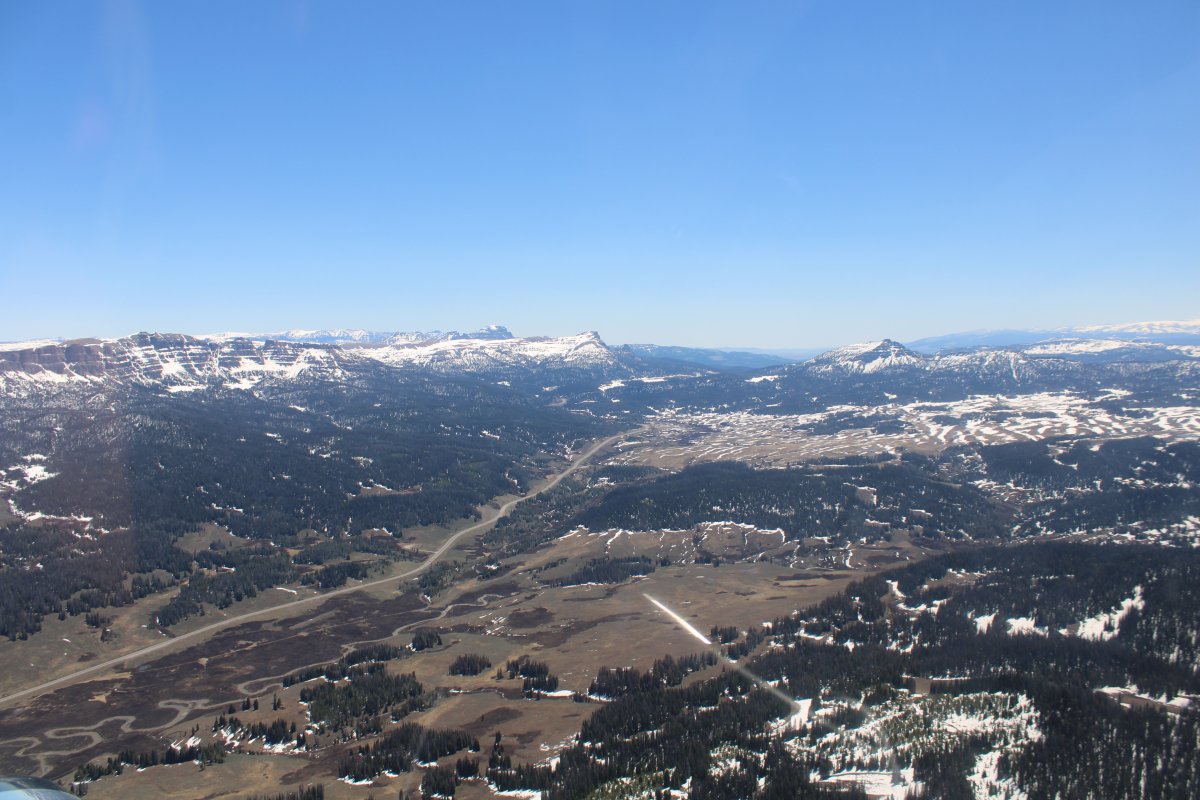
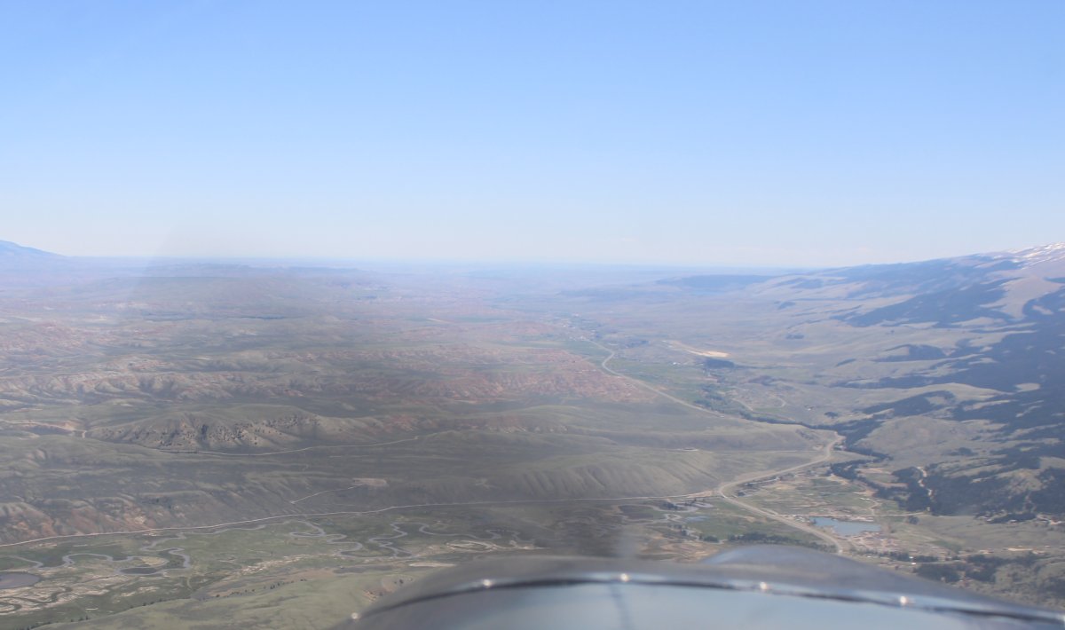
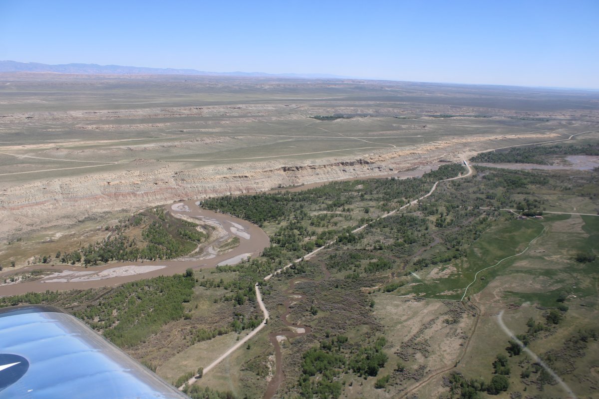
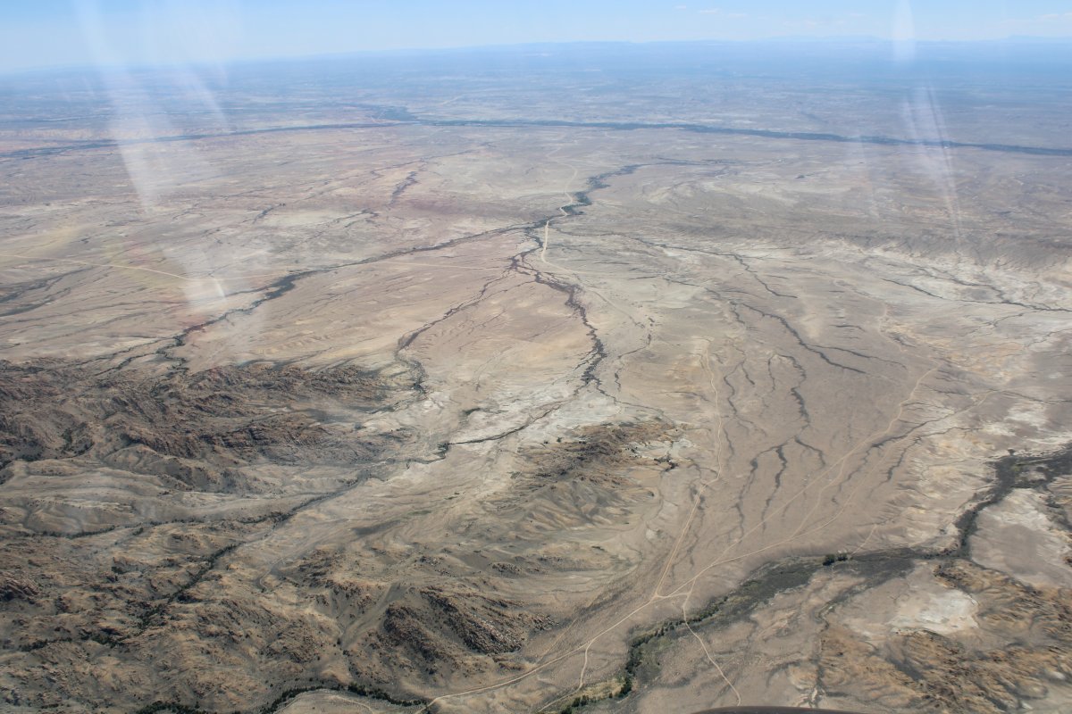
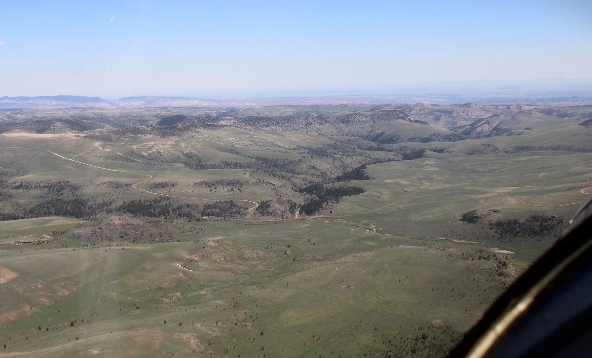
Leaving the mountains for high desert.
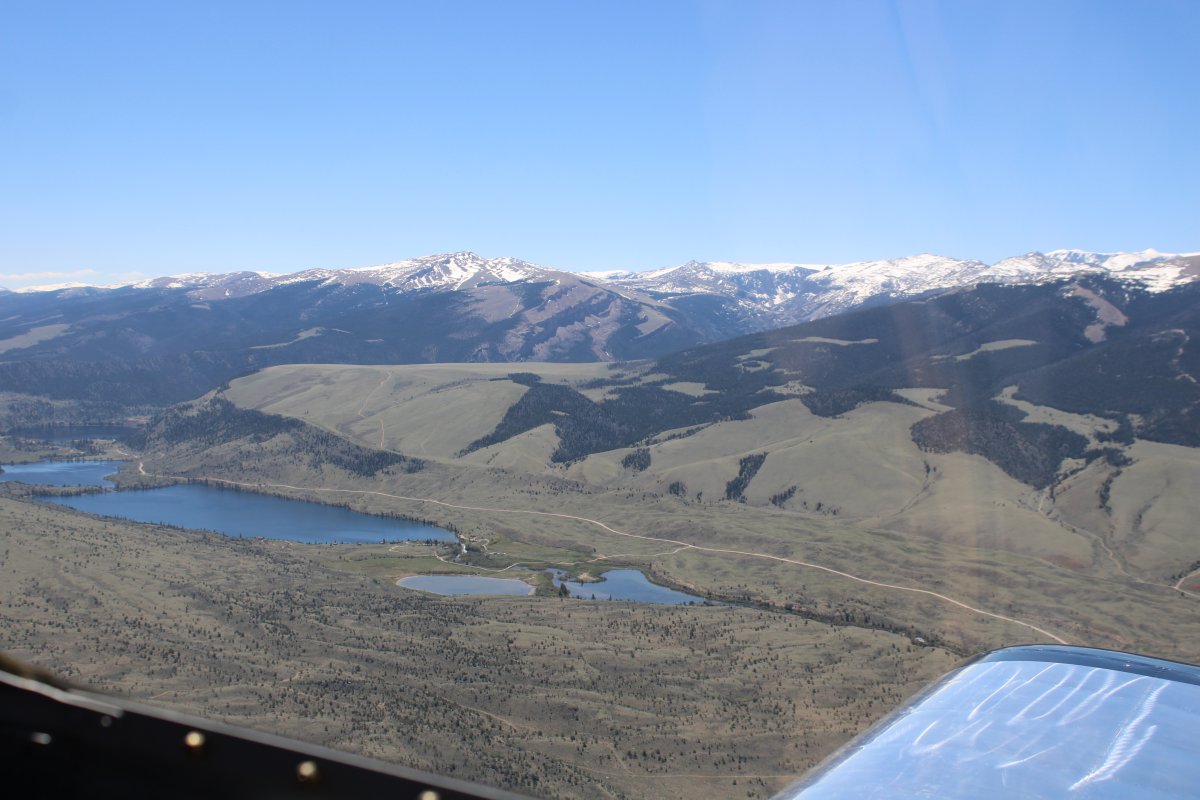
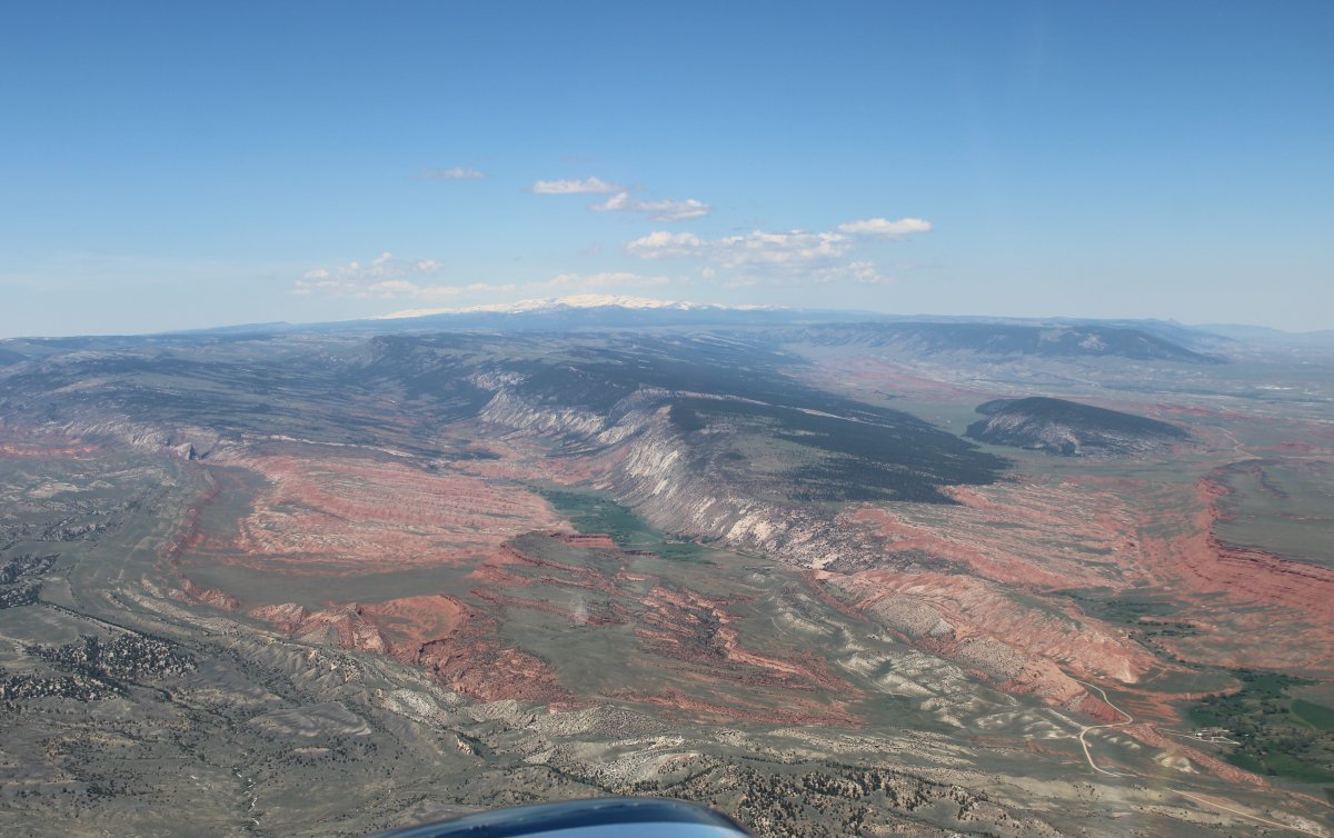
Some big 13,000 foot mountains to the southwest.
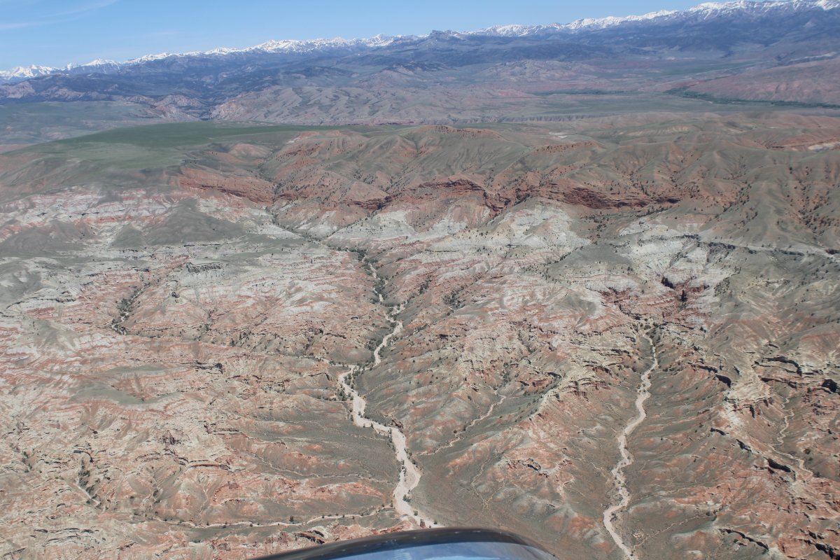
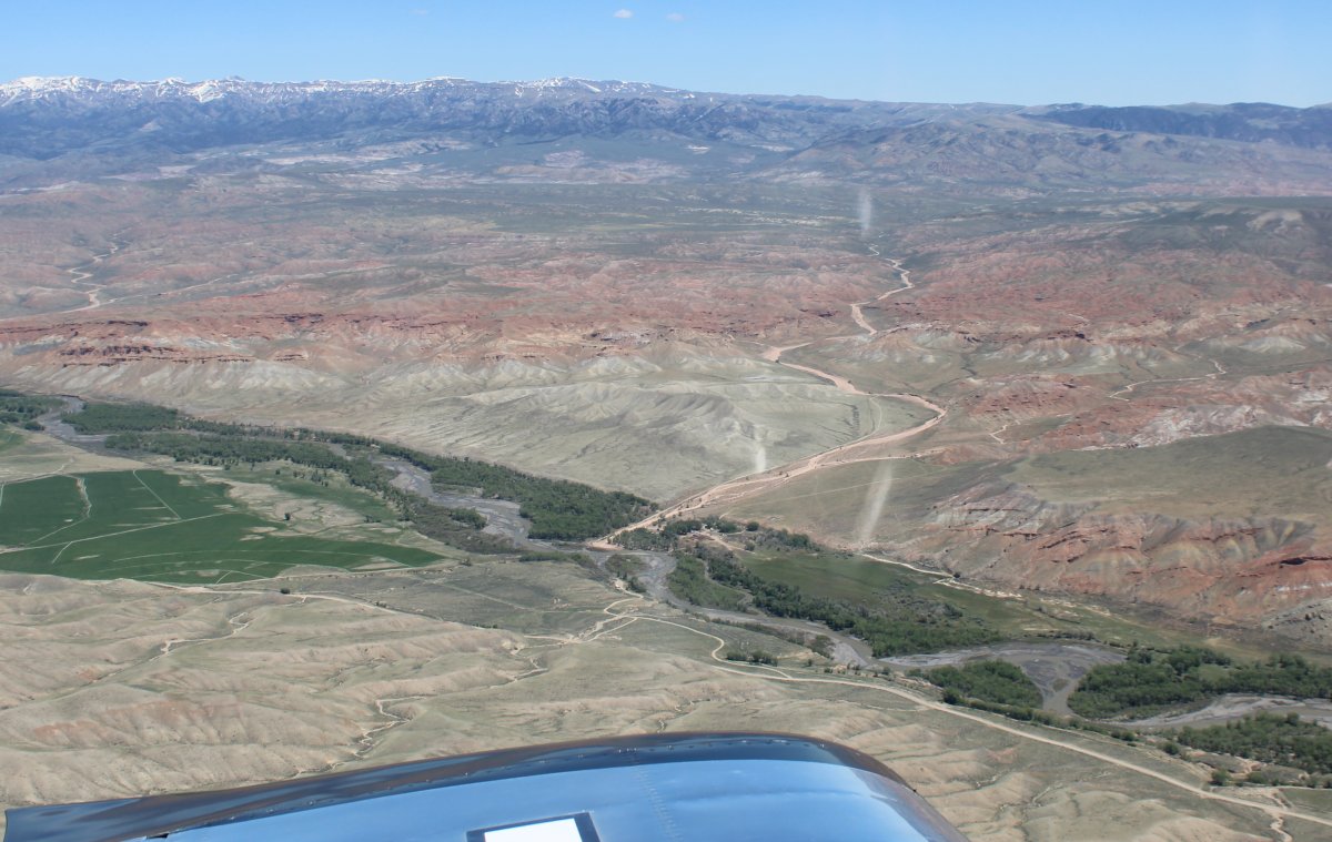
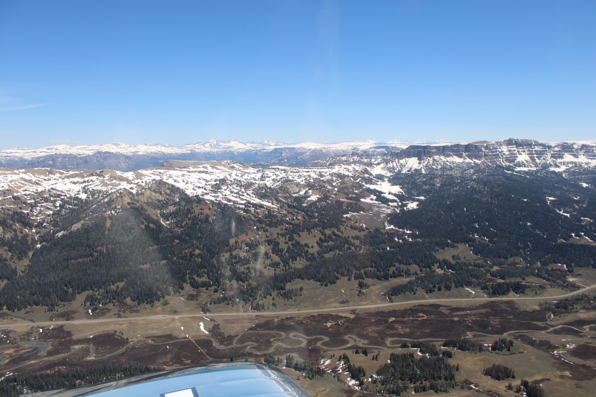
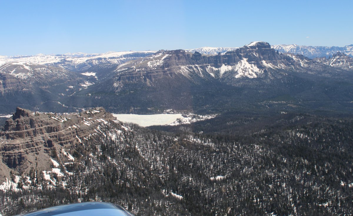
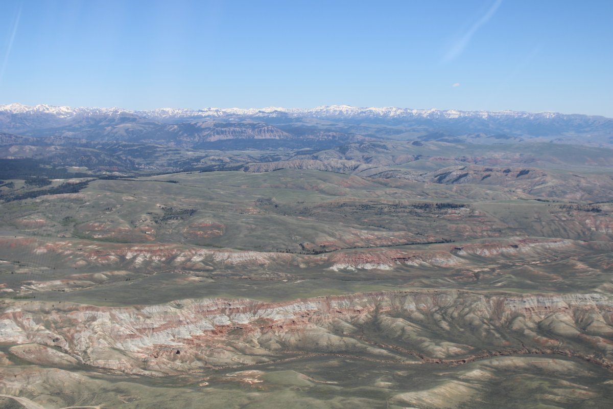
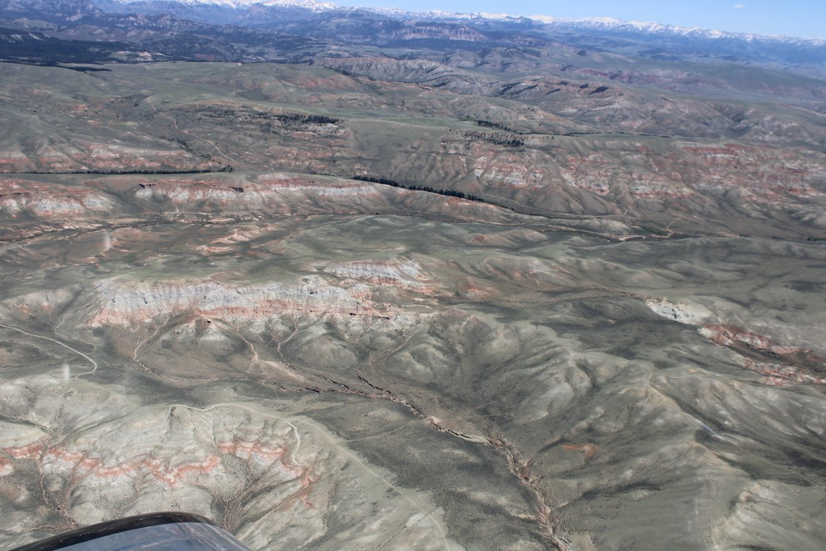
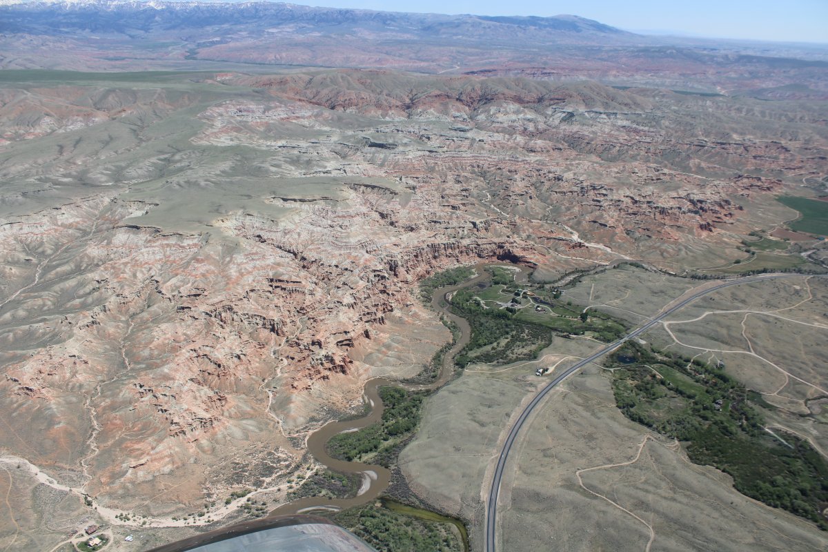
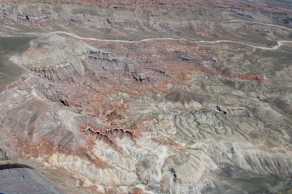
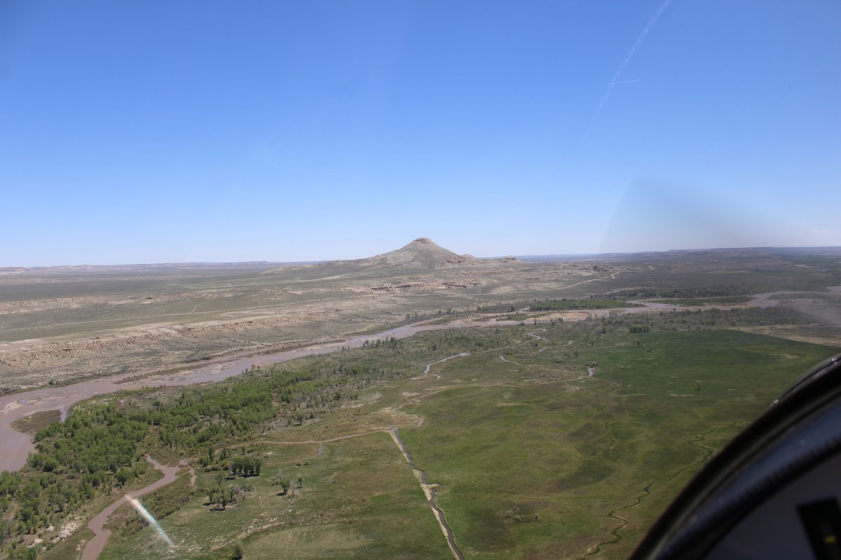
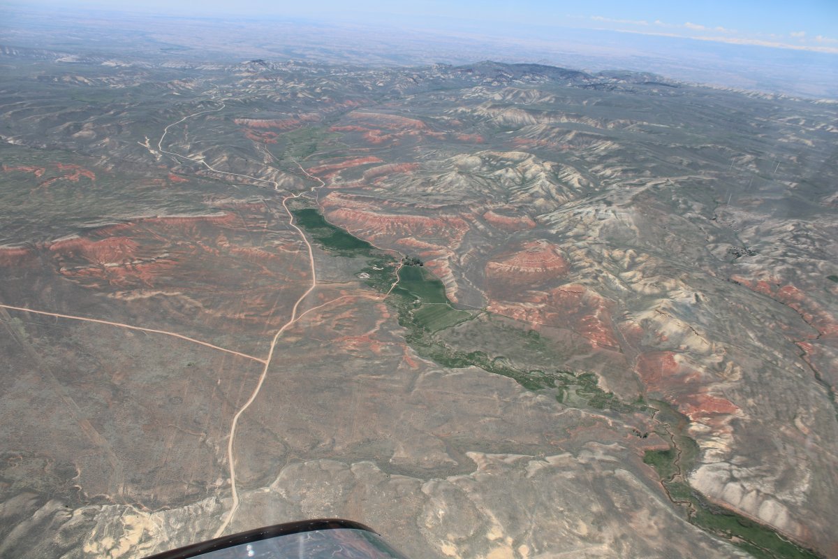
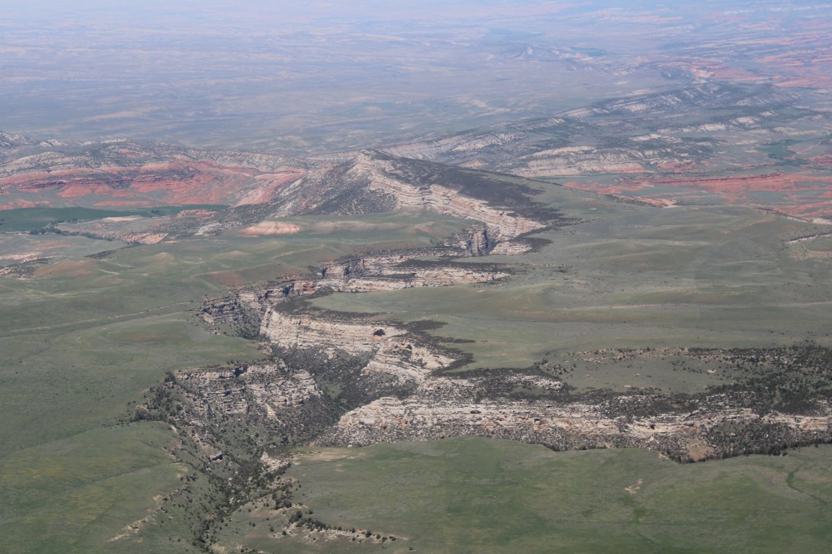
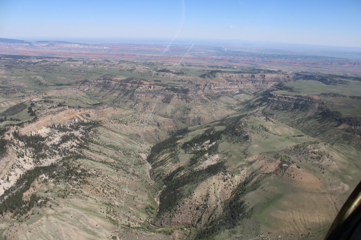
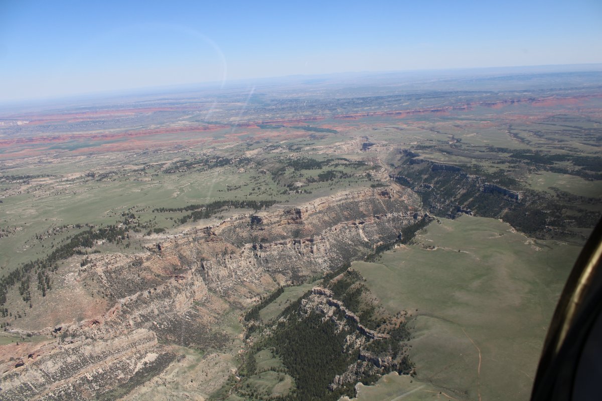
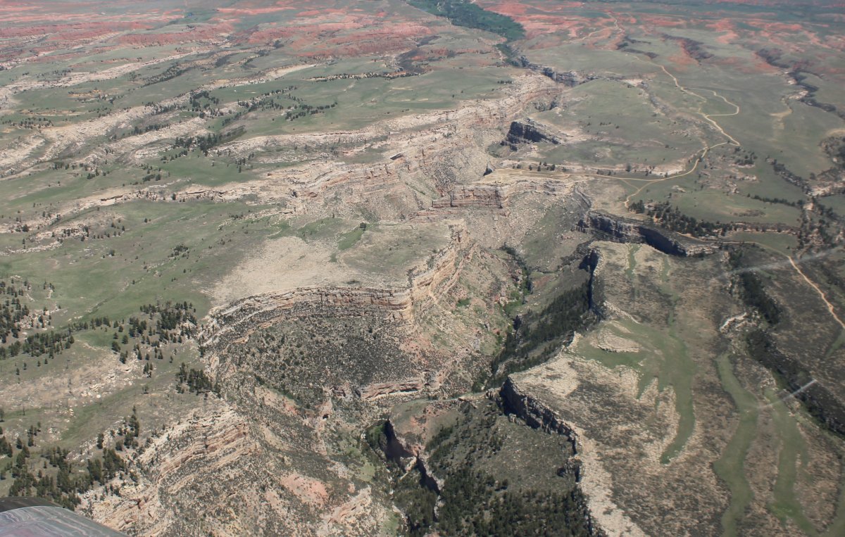
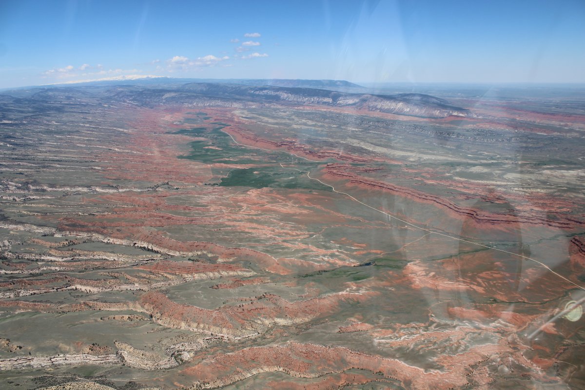
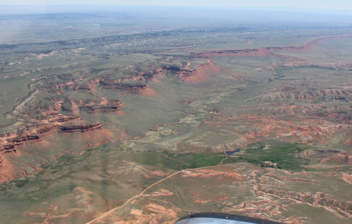
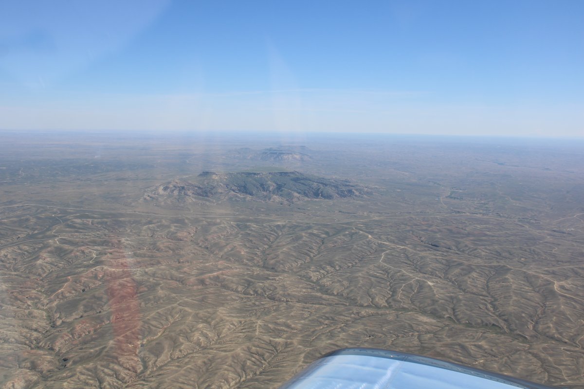
Passing to the south of a long, colorful escarpment.
The Wind River Reservation to the north.
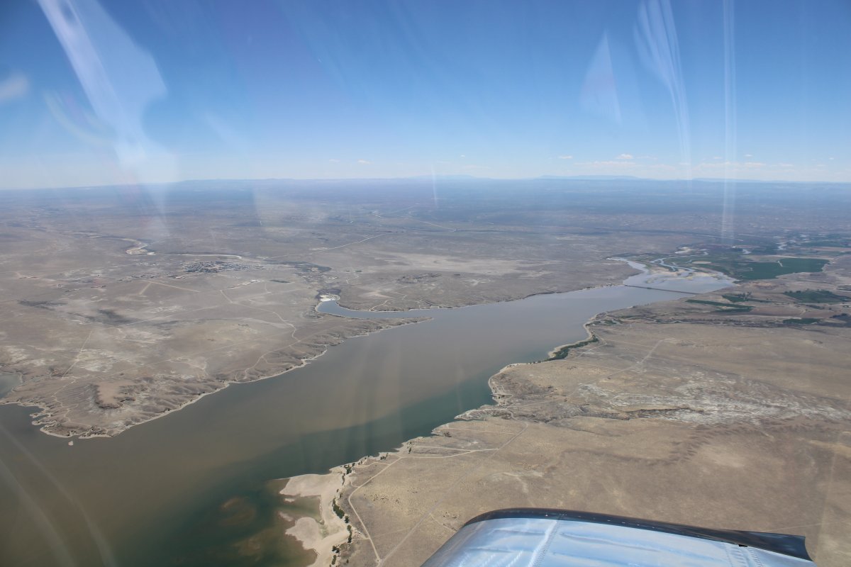
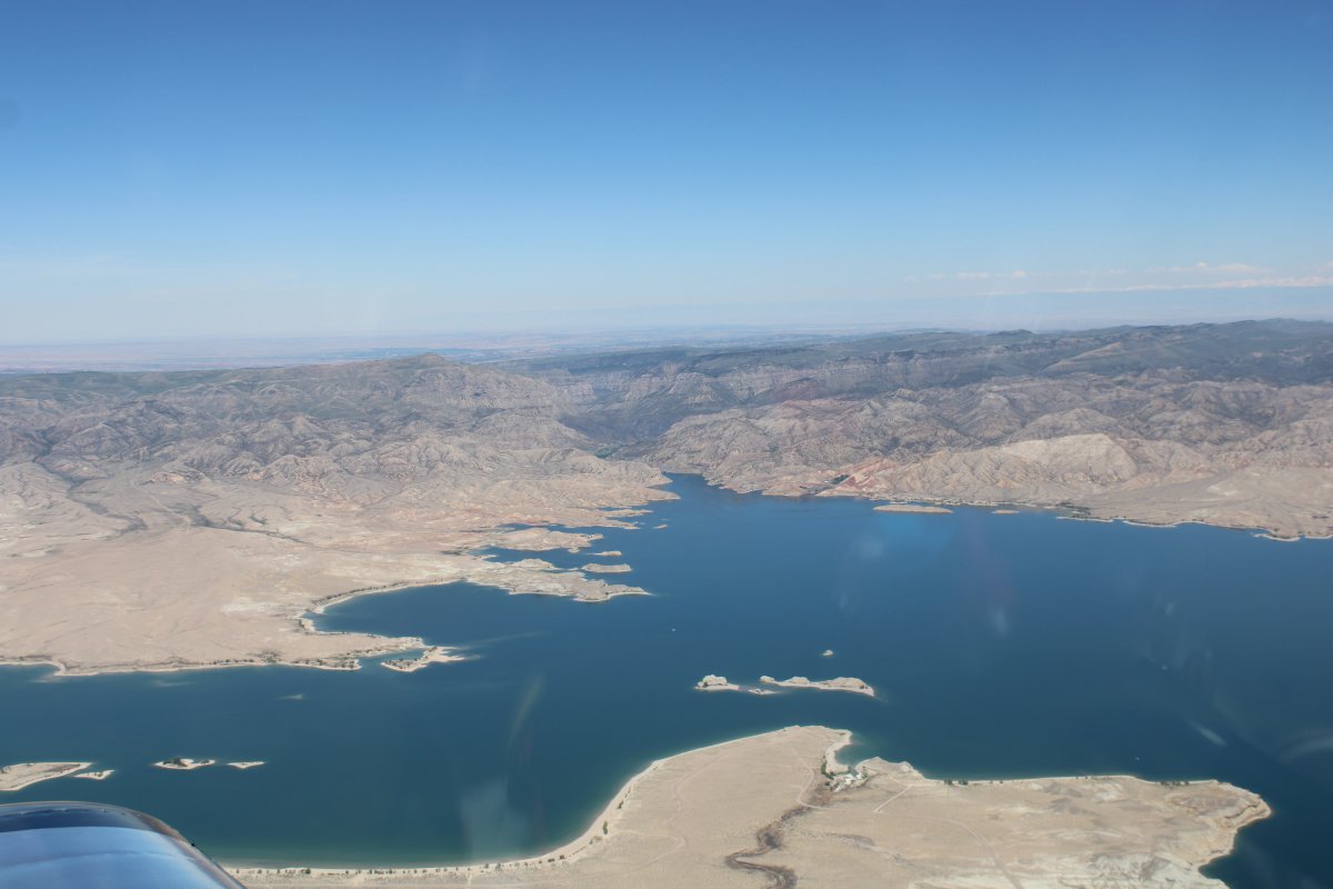
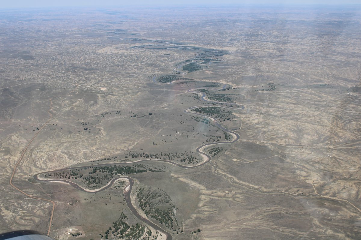
I pass Boysen Reservoir which runs north to south. Looking south.
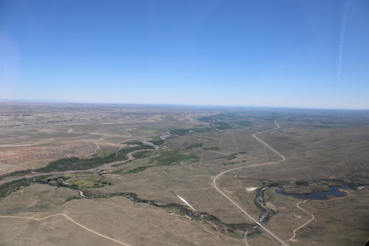
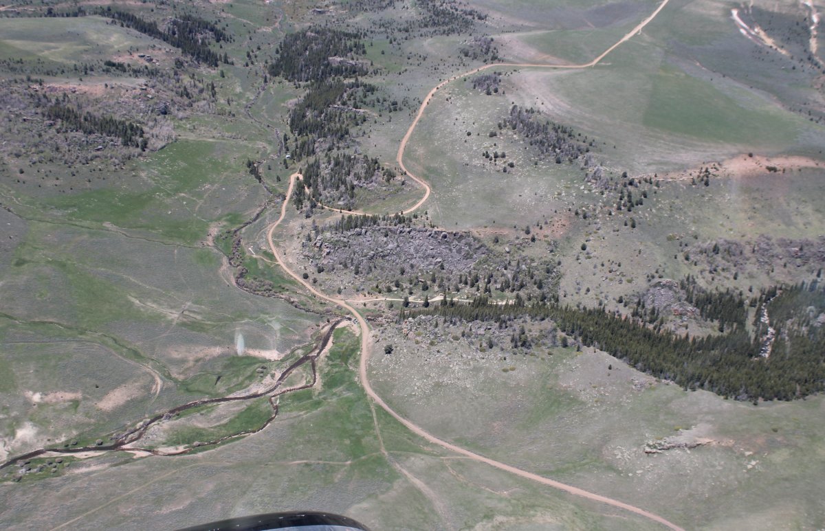
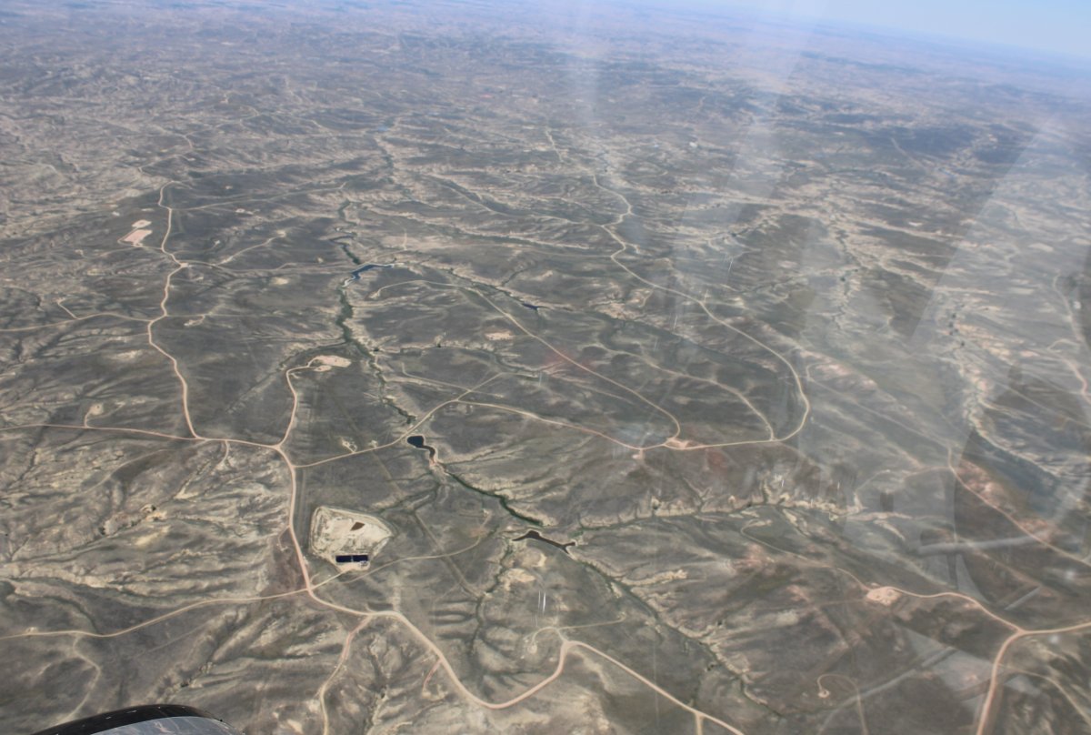
Now heading east-northeast. A dirt road is a pleasant site in sparsely populated Wyoming.
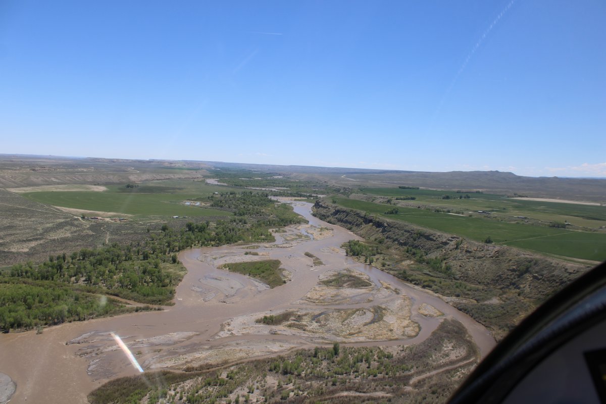
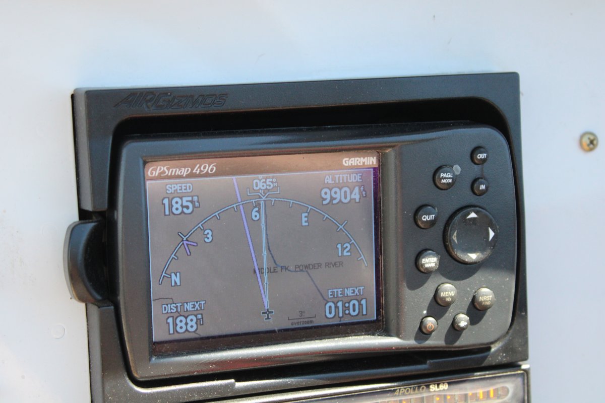
The ground is dropping beneath me as I stay up high to take advantage of the decent groundspeed. It's good to go fast in remote areas like this.
Insterstate 25 snakes off to the north.
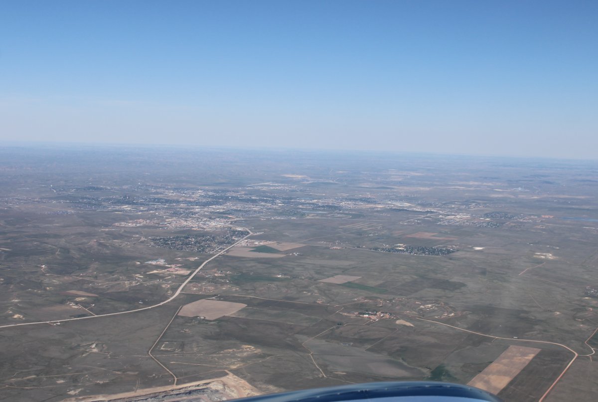
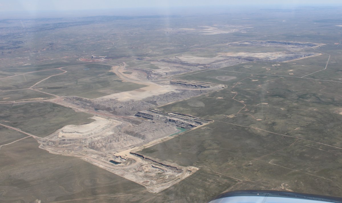
Looking north at the good-sized -- for Wyoming -- town of Gillette. A good-sized airport -- Northeast Wyoming Regional Airport (KGCC) is on the north side of town. They have a courtesy cart -- this might not be a bad place to overnight. But not for me today.
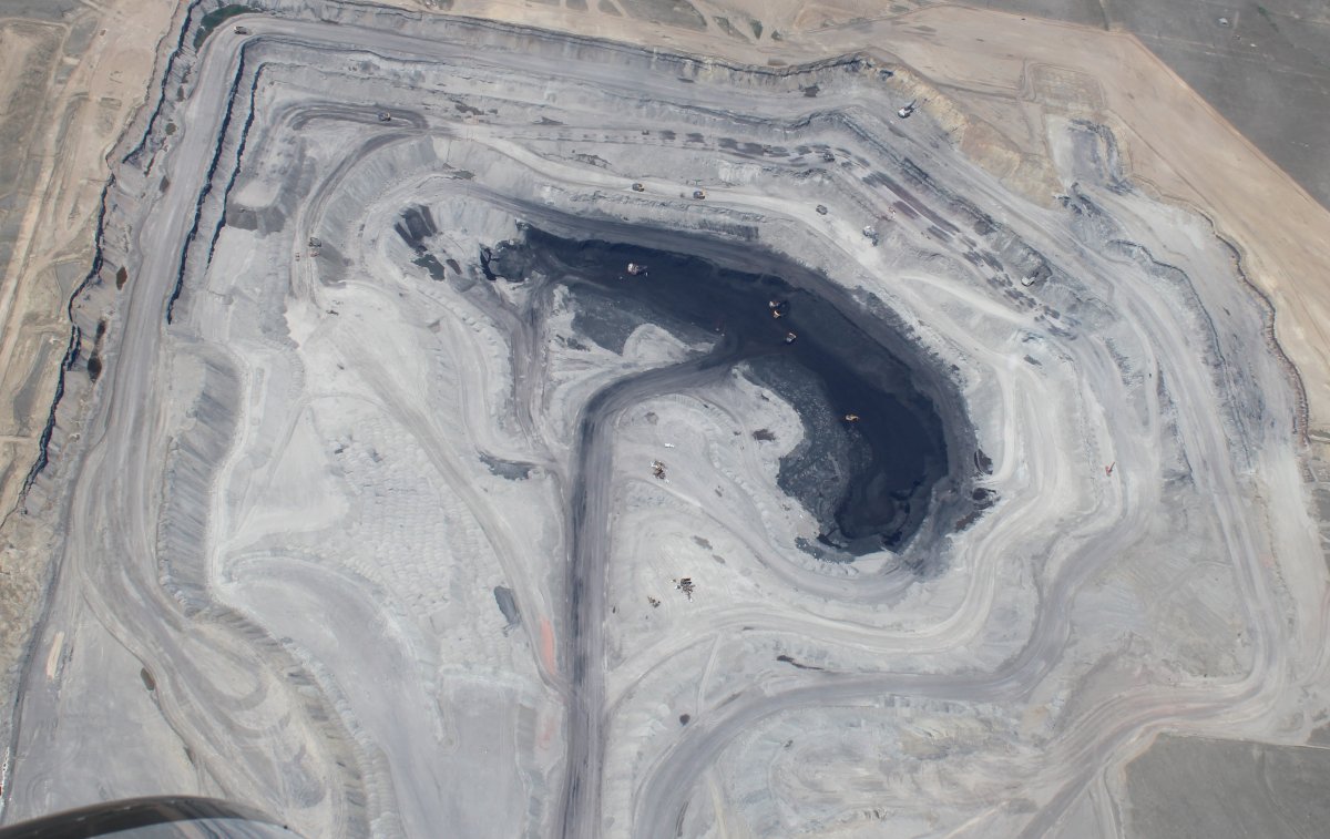
From Wikipedia: Gillette is centrally located in an area involved with the development of vast quantities of American coal, oil, and coalbed methane gas. The city calls itself the "Energy Capital of the Nation"; Wyoming provides nearly 35% of the nation's coal. However, a decline in coal use in the U.S. has led to a decline in the local economy.
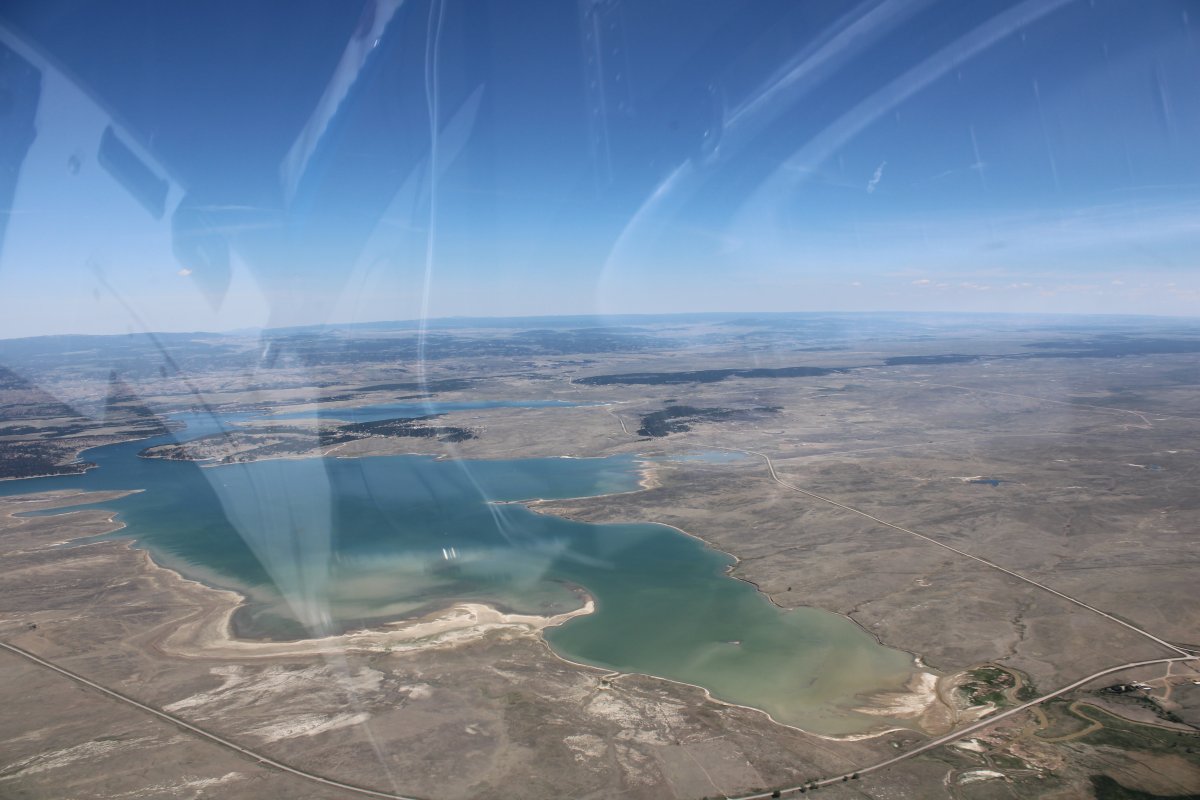
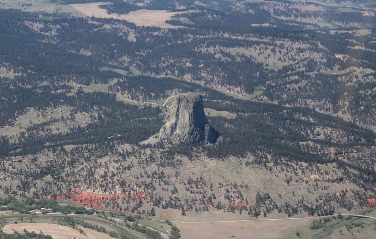
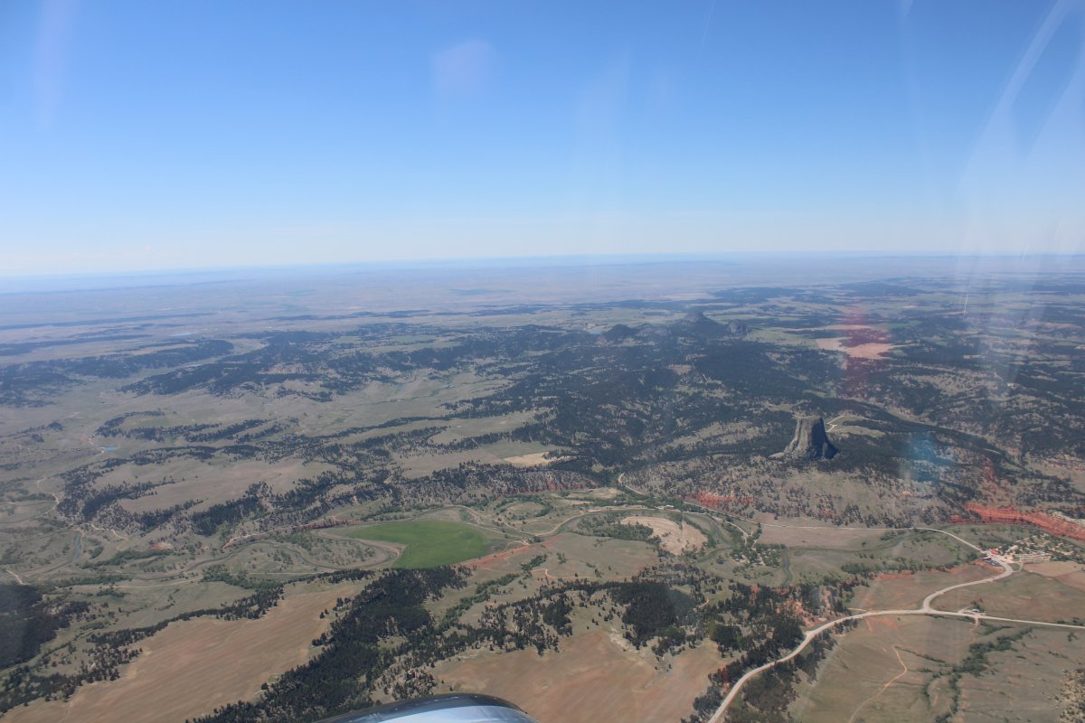
Continuing east, I pass Keyhole Reservoir. At this point, I turn north-northeast because I spotted something on the Chart I need to see.
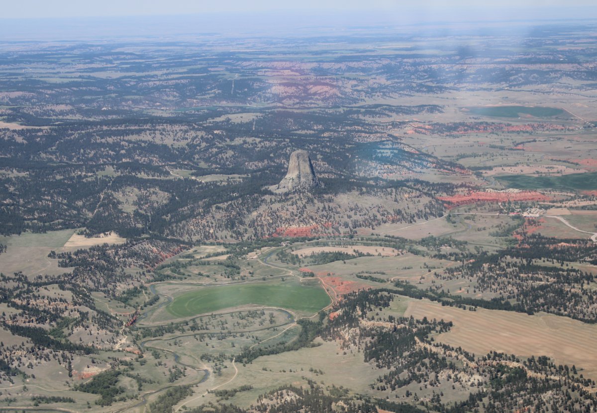
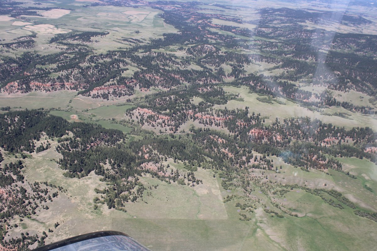
Close-up.
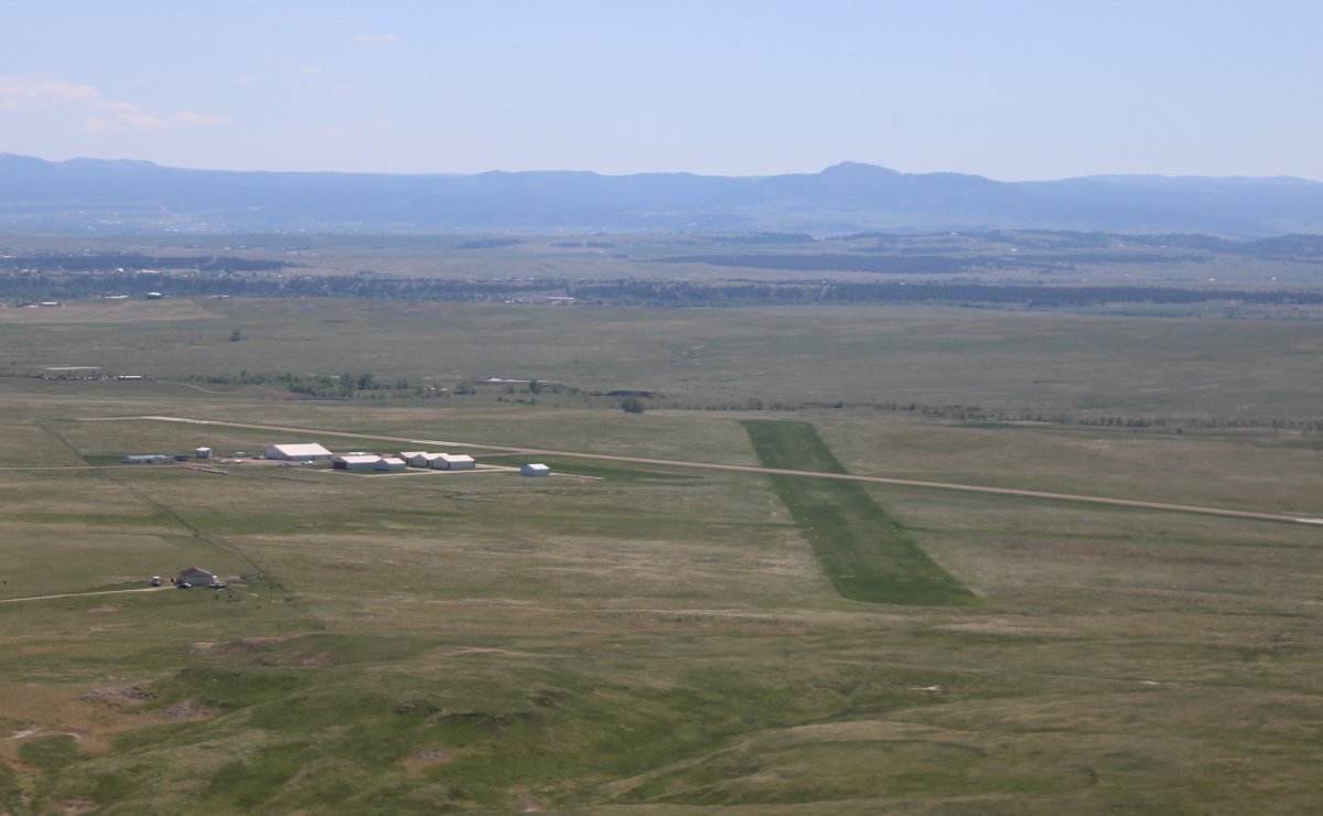
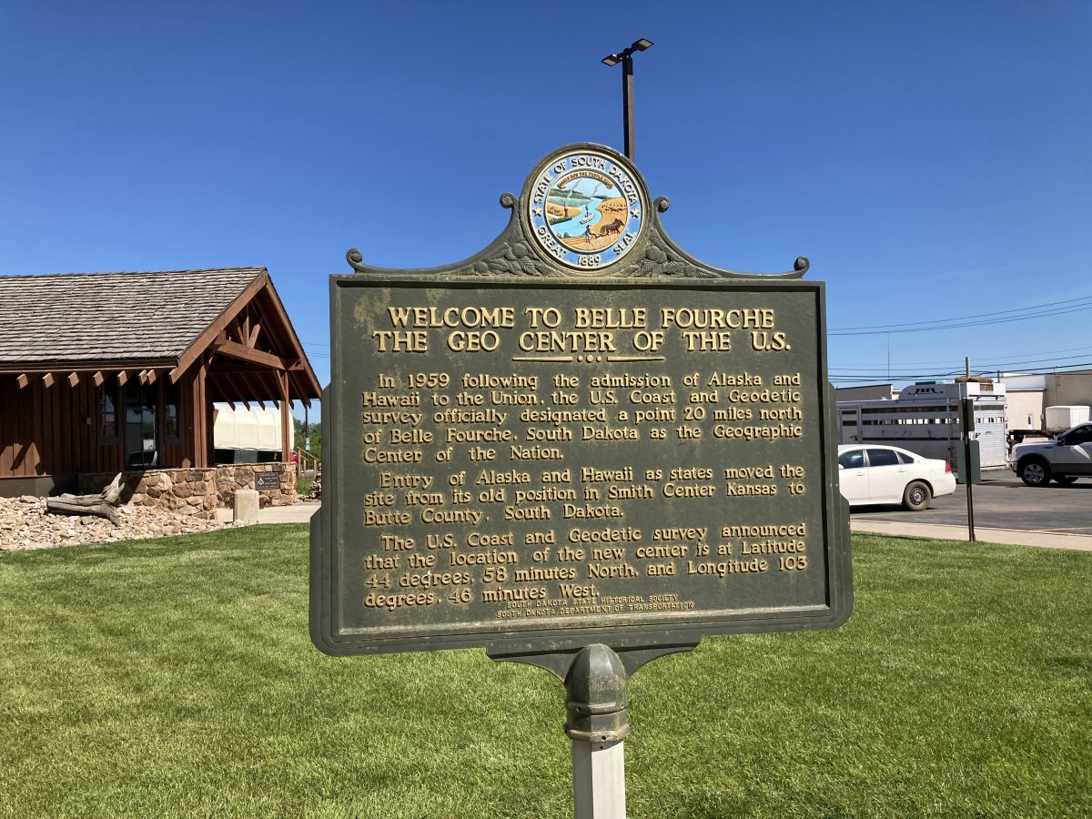
I cross into South Dakota and pretty soon the town of Belle Fourche comes into view.
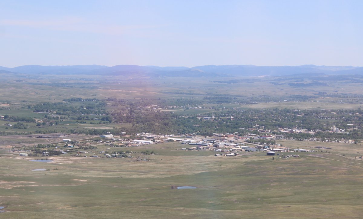
Belle Fourche Municipal Airport is just to the north of the town. In addition to a long asphalt runway, they have a nice grass runway. It was into the wind so I landed on it.
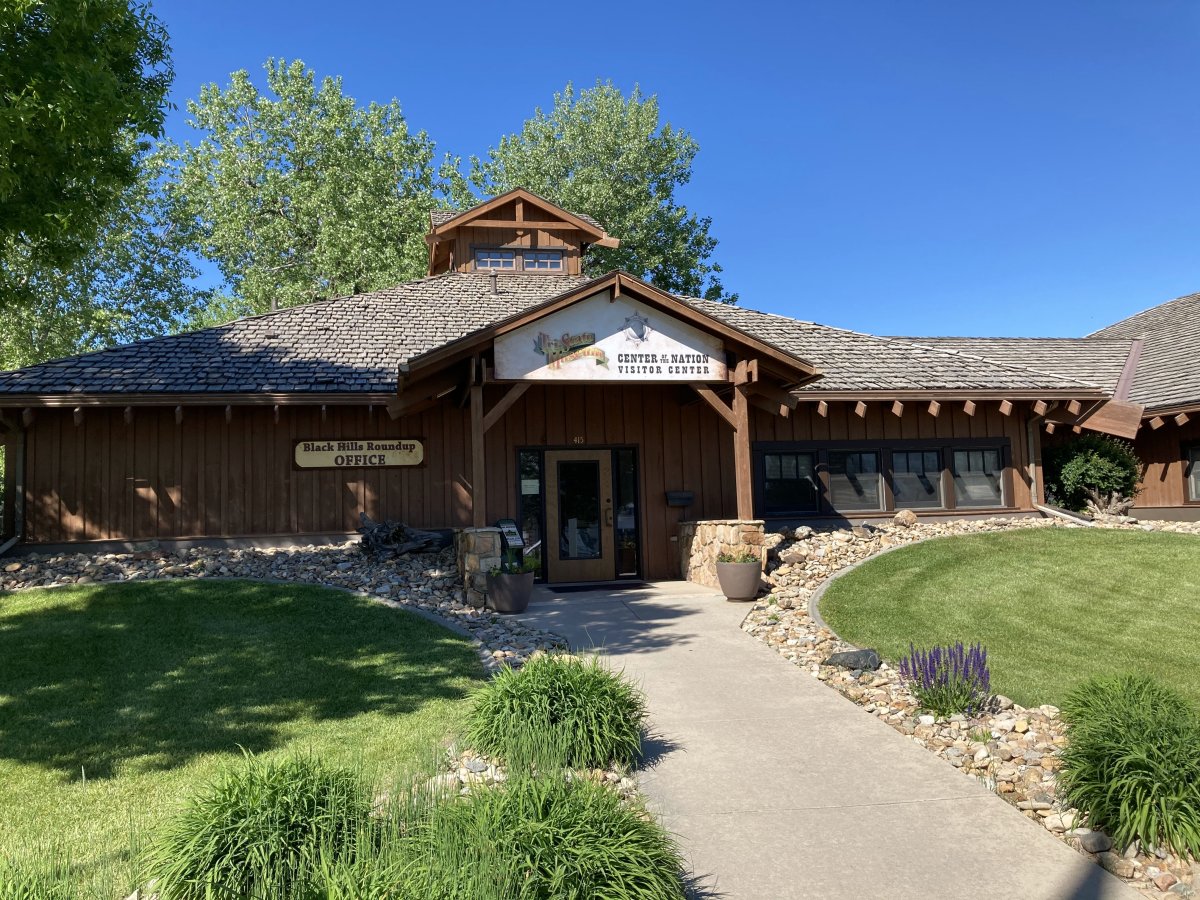
I had an excellent overnight stop at this airport back in 2014, so that's why I stopped in here again. It's still great. The Airport Manager is different but just as friendly and helpful. There is self-service Avgas at an excellent price. Wi-Fi in the pilot's lounge. A courtesy car for overnight use. Tie-down ropes are even available. Lodging in town is not expensive. The airport is convenient to the Black Hills and Badlands NP. Recommended.